Course Description
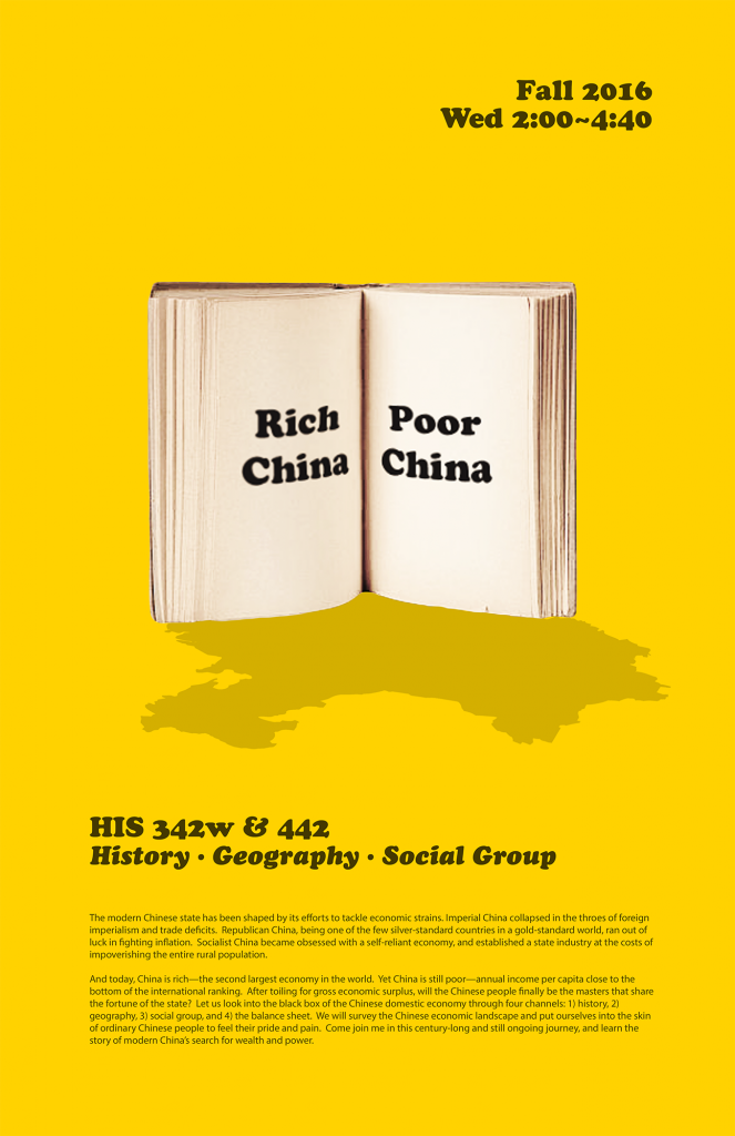
The modern Chinese state has been shaped by its efforts to tackle economic strains. Imperial China collapsed in the throes of foreign imperialism and trade deficits. Republican China, being one of the few silver-standard countries in a gold-standard world, ran out of luck in fighting inflation. Socialist China became obsessed with a self-reliant economy, and established a state industry at the costs of impoverishing the entire rural population. And today, China is rich—the second largest economy in the world. Yet China is still poor—annual income per capita close to the bottom of the international ranking. After toiling for gross economic surplus, will the Chinese people finally be the masters that share the fortune of the state? Let us look into the black box of the Chinese domestic economy through three channels: 1) history, 2) social group, and 3) geography. We will survey the Chinese economic landscape and put ourselves into the skin of ordinary Chinese people to feel their pride and pain. Come join me in this century-long and still ongoing journey, and learn the story of modern China’s search for wealth and power.
Assignment: Mapping Chinese River Towns
This assignment was inspired by Peter Hessler’s 2001 book River Town: Two Years on the Yangtze. China has about 660 cities, and the majority of them developed along a river. For two years Hessler lived and taught in Fuling, a small Sichuan city where the great Yangtze River meets it tributary Wu River, and observed the traces of Fuling’s socialist past, reforming present, and Three-Gorges-Dam future. Hesller then organized these elements of time around a string of geographical landmarks—Raise the Flag Mountain, the White Crane Ridge, the College, the old town, and so forth. The result is a compassionate and profound depiction of people and place confronted with staggering change.In this final project, the students researched their own river towns and presented their finding through both essays and hand-drawn maps. In each essay, he/she started with describing the geographical/cultural traits of the city, and then linked them to the city’s economic experience in in the reform era since the 1970s. Following the examples in Hessler’s River Town, Each student also created a map of his/her river town on a standard copy paper as a visual guide to his/her research essay, indicating the major geographical landmarks that he/she discussed in the essay.

