Course Description:
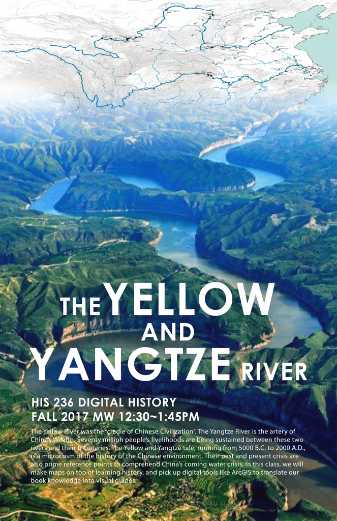
The Yellow River was the “cradle of Chinese civilization.” The Yangtze River is the artery of China’s wealth. Both of them originate from the Tibetan plateau and meander over three thousand miles across China until they finally meet the Pacific Ocean. Seventy million people’s livelihoods are being sustained between these two rivers and their 31 main tributaries as well as 17 major tributary lakes. The Yellow and Yangtze tale, running from 5000 B.C. to 2000 A.D., is a microcosm of the history of the Chinese environment. Their past and present crisis are also prime reference points to comprehend China’s coming water crisis. In this class, we will make maps on top of learning history, and pickup digital tools like ArcGIS to translate our book knowledge into visual guides.
Assignments:
In the first assignment, we divide the two rivers’ modern journey into six time periods: 1861-1910, 1911-1930, 1931-1940, 1941-1950, 1951-1980, and 1980-2000s. Each student narrated the Yangtze/Yellow story of his/her selected time period through a clear explanation of eight to ten landmark events, and indicate these events on two collaborate group maps.
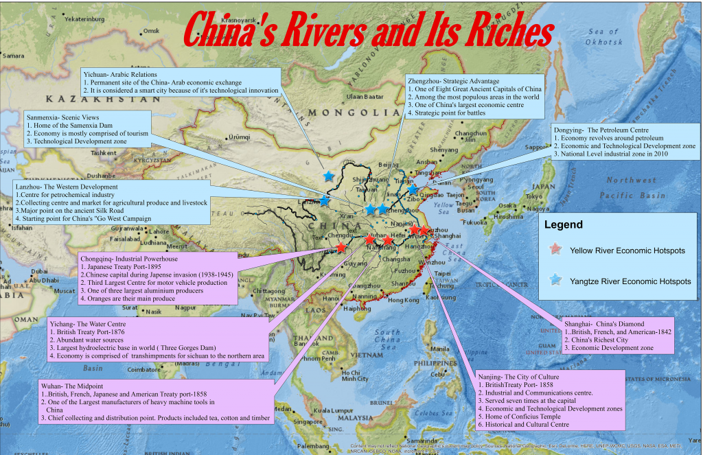
In the second assignment, each student tells his/her Yellow/Yangtze story through a topic of individual choice (war, dam, pollution, trade, politics, and etc.). Their essays depicted how the rivers and their river towns confronted with China’s chaotic fate in the first half of the 20thcentury and its unique socialism-capitalism transition in the second half of the 20thcentury. The students then designed individual maps to indicate major geographical/historical landmarks in their stories.


